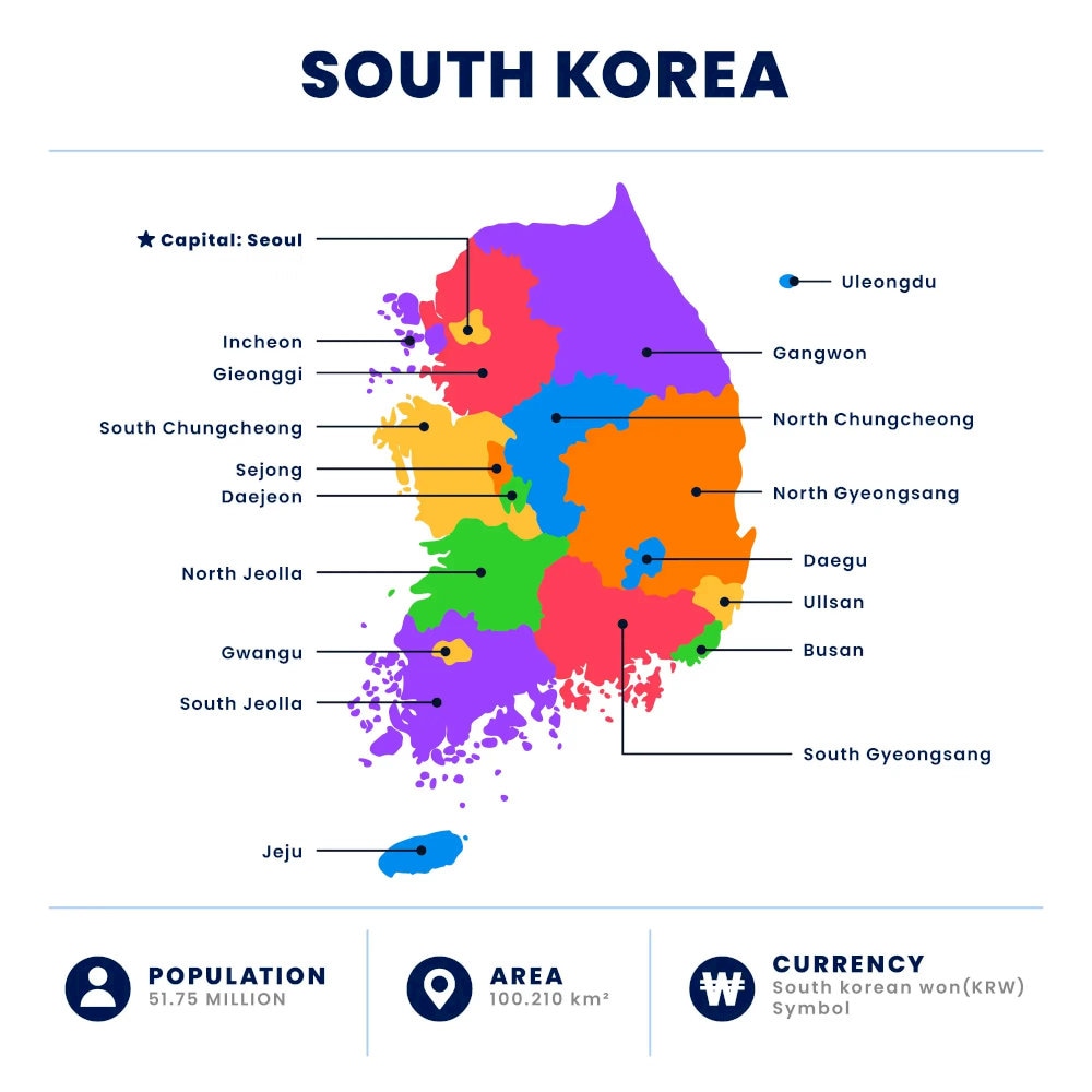
1. Overview of Korea map
Korea, also known as the Republic of Korea, belongs to East Asia, located on the Korean Peninsula. It is a country surrounded by the Sea of Japan (East Sea) to the east and the Yellow Sea to the west.
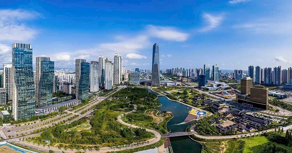
Korea has an area of approximately 100,363 km², smaller than Vietnam, stretching from 33° to 43° North latitude. The terrain is mainly hills and mountains (accounting for up to 70%), interspersed with small narrow plains in coastal areas.
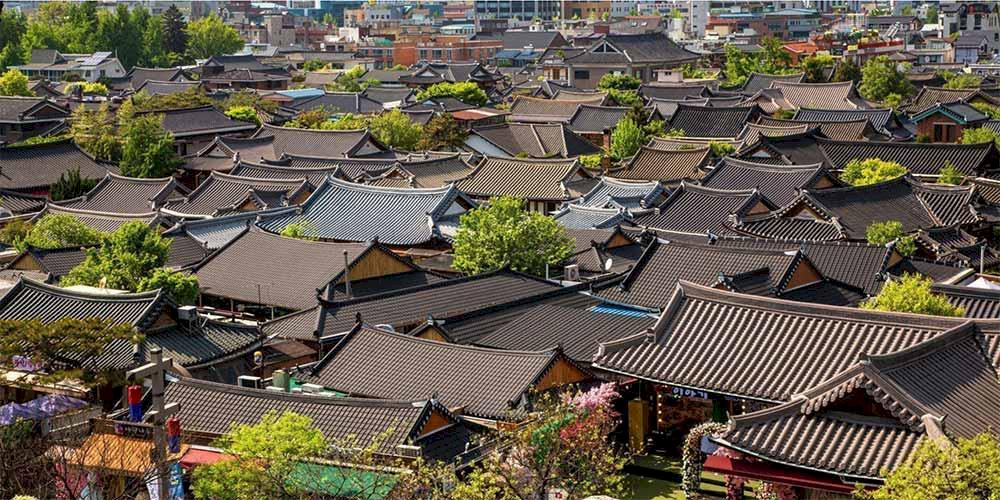
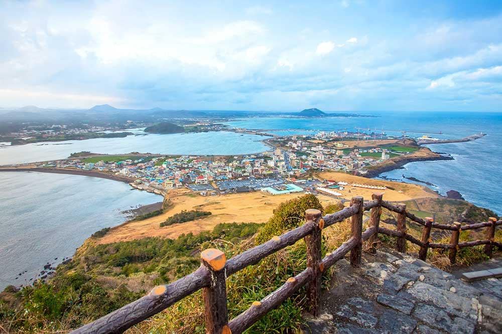
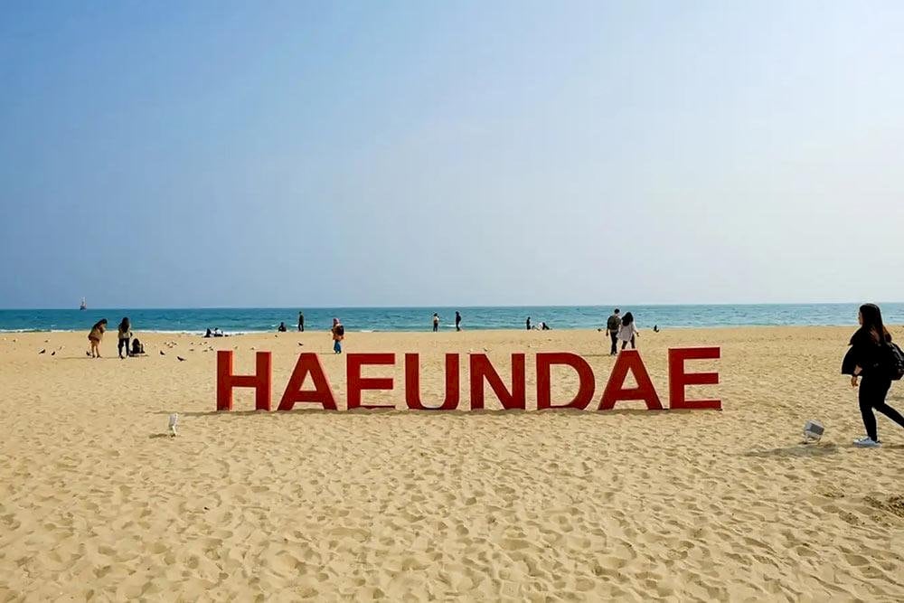
The Korea map shows this country has over 3,000 islands, the largest being Jeju Island - famous for Mount Hallasan volcano and beautiful natural scenery.
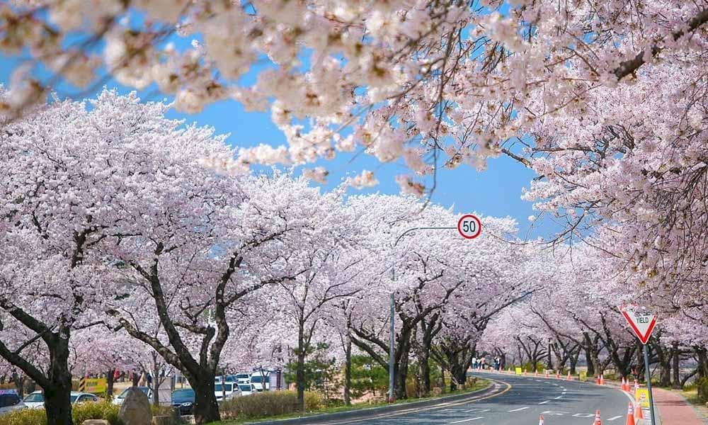
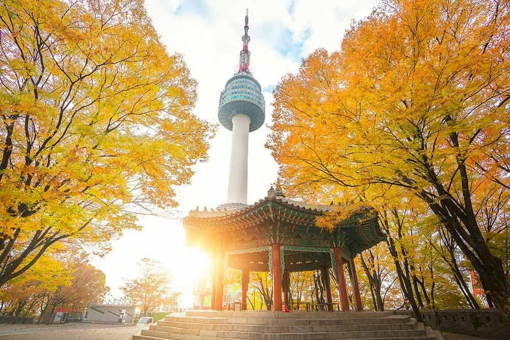
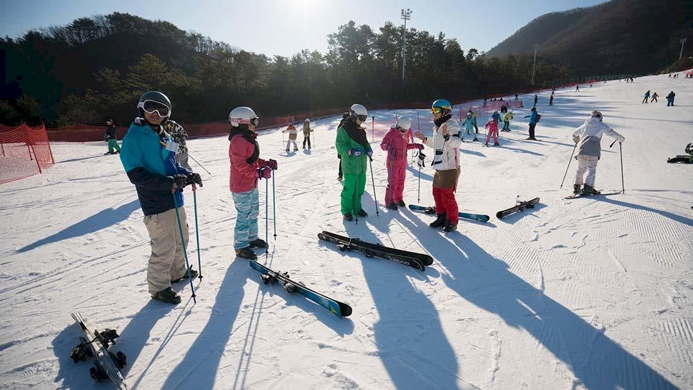
Korea's climate is divided into 4 distinct seasons, each bringing its own attractive characteristics. Spring is when thousands of flowers bloom, summer has blue seas, autumn has red leaves, and winter has snow covering the roads.