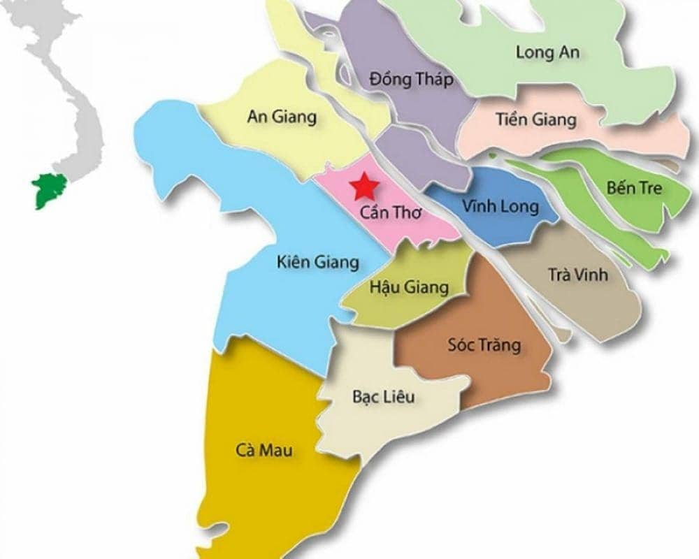
1. An Overview Map of Mekong Delta
1.1. Geography and physical features
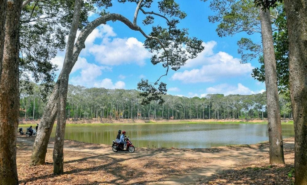
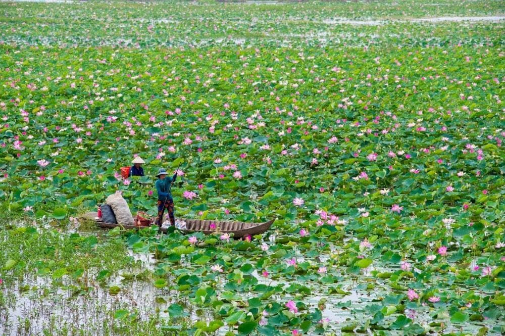
The Mekong Delta is situated in the southernmost part of Vietnam, where the Mekong River, one of the world’s longest and most significant rivers, flows into the East Sea. The Mekong Delta encompasses about 39,000 square kilometers, making it one of the largest river deltas in the world. The region is an intricate network of rivers, canals, and islands, which flows through the provinces of Kien Giang, An Giang, Ca Mau, Soc Trang, Ben Tre, Tien Giang, Vinh Long, Tra Vinh, Hau Giang and Long An.
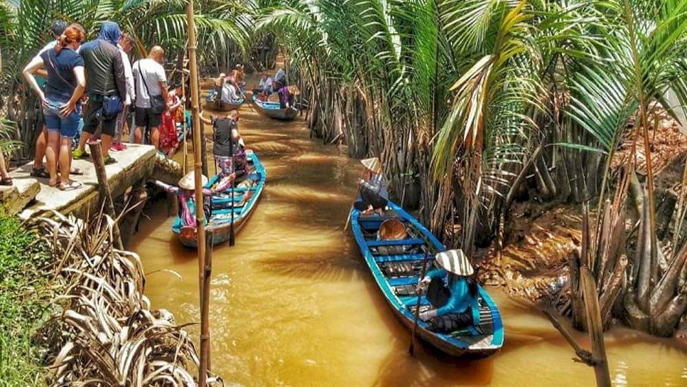
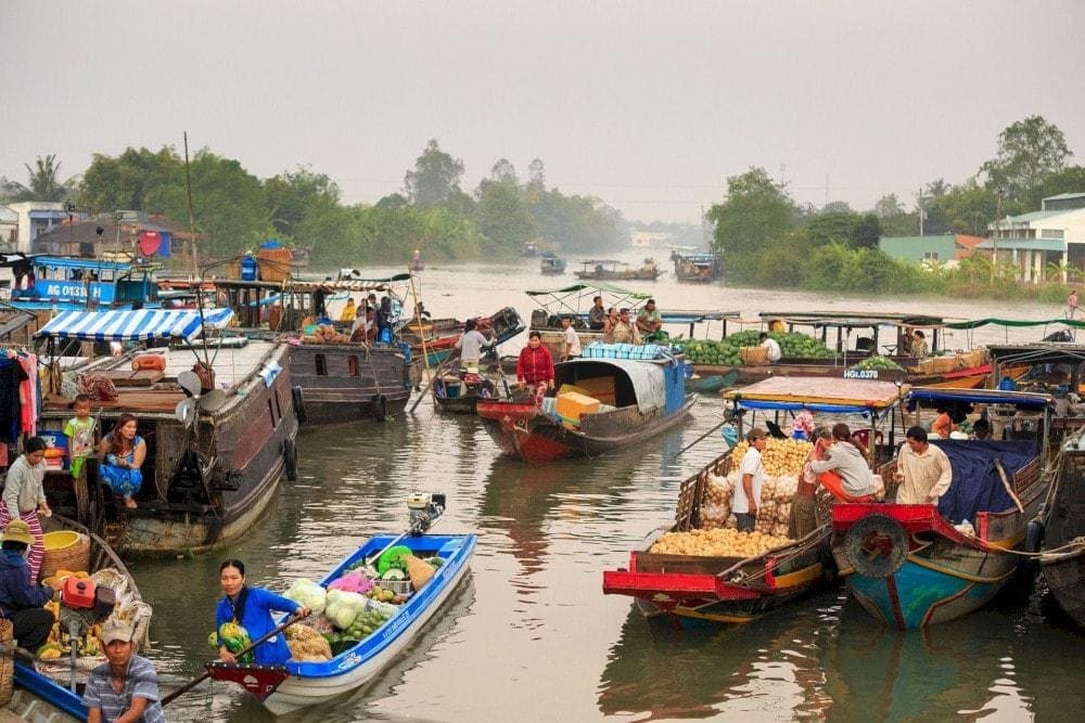
On a map, the Mekong Delta appears as a sprawling labyrinth of rivers, streams, and natural channels that weave through the landscape. These waterways are vital for transportation, irrigation, and fishing, making them indispensable to local life.